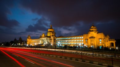
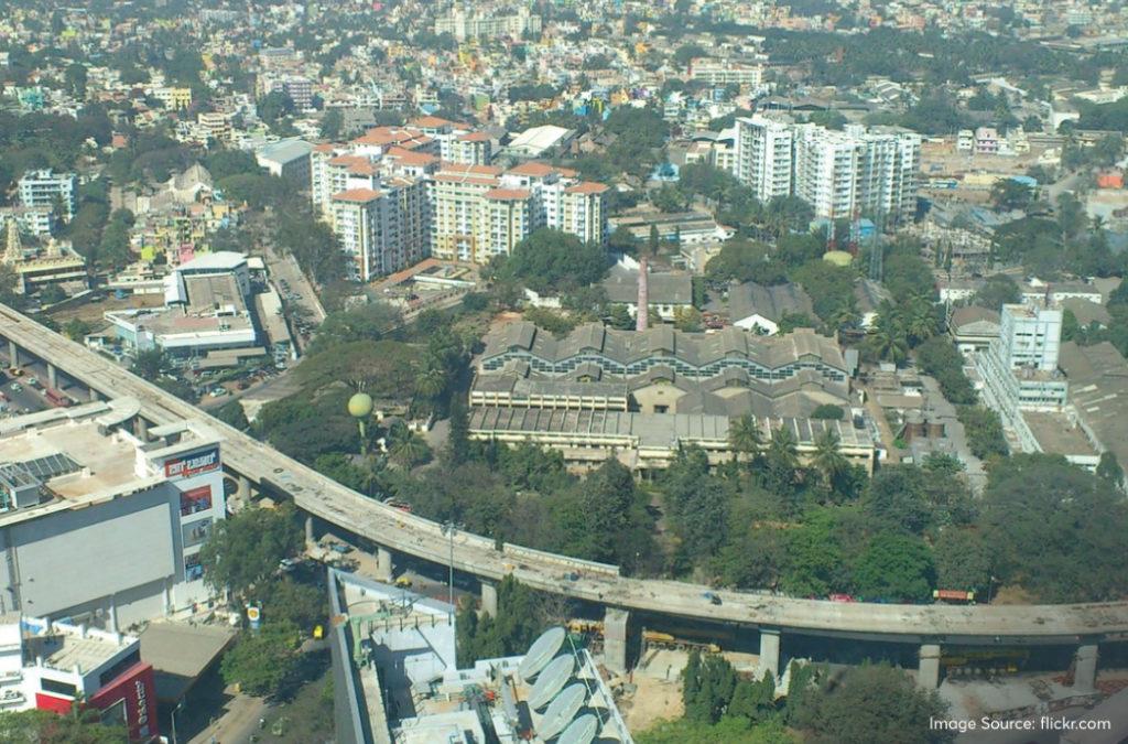
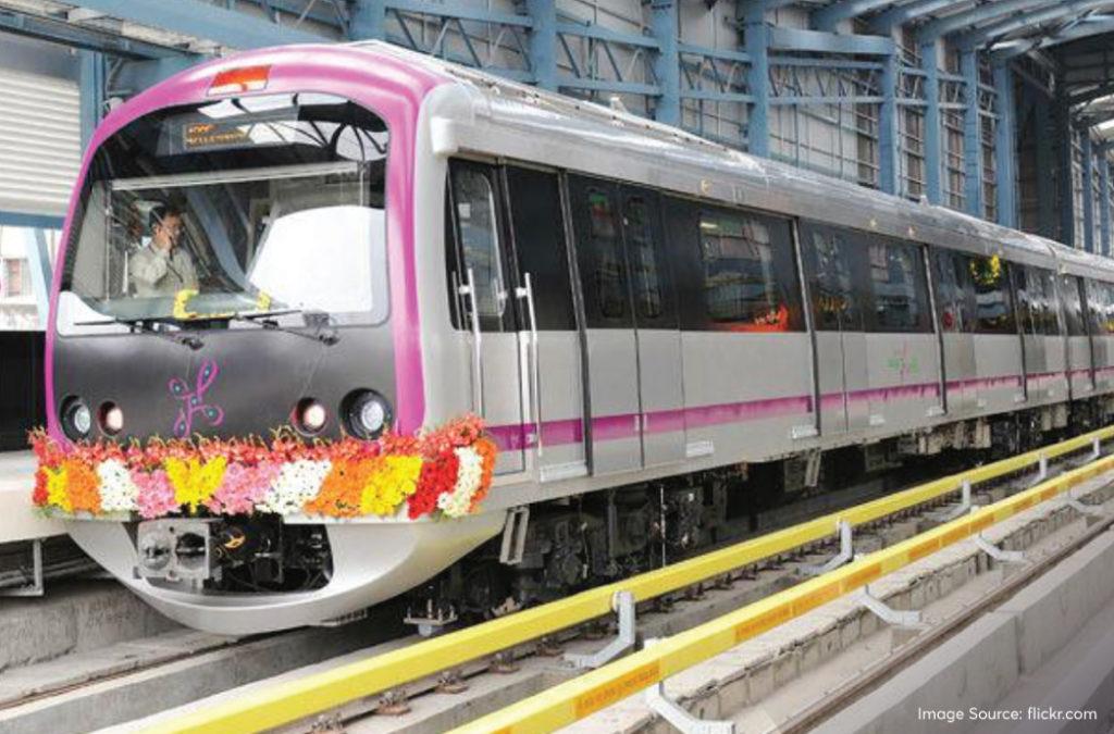
Bangalore or Bengaluru is the city of dreams that attracts people from all corners of the country. Some are here to start their corporate life while others are striving to build a successful start-up. Many reputed companies have set up their base in this beautiful city! Tourists come here all the time to explore the well-manicured gardens and architectural wonders. And then there is the party scene! Bengaluru has the highest number of pubs and breweries in the country that entertain the masses. That being said, the city’s traffic woes have always been a point of discussion. Bangalore Metro, also called ‘Namma Metro’ makes commuting easier, safer and certainly faster!
Here’s everything you need to know about the Bangalore Metro, its history, operational lines, upcoming lines, fares, features and more.
Read on!


History and Development
The State Town Planning Department recommended that the city must have a mass rapid transport option, preferably an intracity metro, way back in 1977. A committee sat down to discuss the same and took help from a few members of the Southern Railway (SR). The team from SR suggested that the city must have a 2-corridor metro that is about 80 kms long along with rail lines and a ring railway. SR was commissioned to do this in 1981.
In 1993, the state government established another community and they also suggested the same thing that the SR team previously planned.
Bangalore Mass Rapid Transit Ltd (BMRTL) was created in 1994. This body suggested that the network should be 300 kms long with 6 routes. However, the plan was dropped. With so many hurdles and not a single plan going on the floor, the Karnataka government finally sought the expertise of Delhi Metro Rail Corporation (DMRL) after seeing their successful metro venture in the capital of India. After a detailed study, this body suggested that the metro must have 2 lines running 60 kms. They said that the middle of the cross can be underground at the Central Railway Station. The government accepted DMRL’s plan and BMRTL was replaced with Bengaluru Metro Rail Corporation Ltd (BMRCL).
Phase 1
The initial plan for the Phase 1 construction was submitted in May 2003. It was for a route of 33 kms with 32 stations. The Union Cabinet approved the same on 25th April 2006. Prime Minister, Dr. Manmohan Singh, laid down the first stone of construction on 24th June 2006. The construction of the Phase – 1 line that runs between Baiyyappanahalli and Mahatma Gandhi Road began on 15th April 2007.
Phase 2
Phase – 2 plan was needed to extend the metro network to parts of Bengaluru where the routes of Phase – 1 did not run. DMRC submitted their plan for the second phase of construction on 4th January 2011. The Karnataka government gave their approval on 3rd January 2012. But, there were delays in the preparation of the complete plan and hence, they couldn’t seek the approval of the Central government. After a lot of delays, a budget plan was made and the Expenditure Finance Committee (EFC) approved it in August 2013. Subsequently, the Union Cabinet announced its approval on 30th January 2014. Phase 2 lines are expected to run from late 2024 to early 2025.
There are plans for future expansion of the Bangalore Metro in Phase – 3 which is expected to have three more lines.
You can also look into the elaborate Chennai Metro Network which does an equally good job to ensure people travel faster and safer in the Tamil Nadu capital.
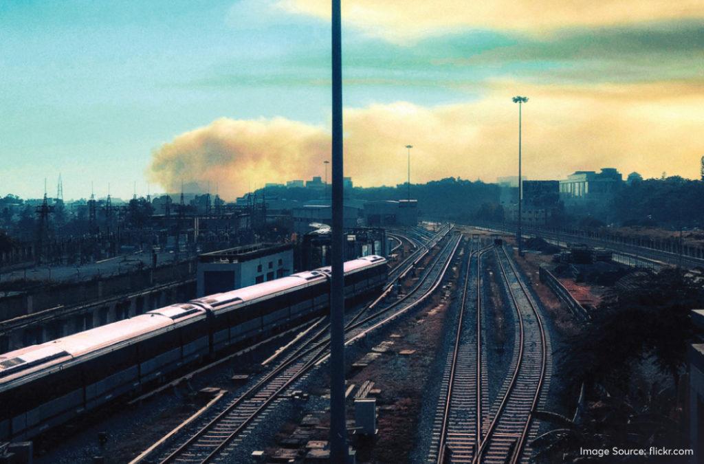
Current operational lines of Bangalore Metro
The purple and green lines of Bangalore Metro are currently operating in the city. These were constructed as a part of Phase 1 of the project and the line runs for 42.3 kms. 8.82 kms of this route is underground while the remaining 33.48 is elevated. The lines have 40 stations with 7 underground ones, 1 at grade (at the general surface level, sometimes without a roof) and 32 are elevated. The network was built using standard gauge.
Purple line
The purple line runs for about 42.1 kms and has 37 stations. It starts at Challaghatta and ends at Whitefield. It has 31 elevated stations, 1 at grade level and 5 underground stations.
The stations from Whitefield to Challaghatta and Benniganahalli are currently under construction and will be built under Phase – 2 of the Bangalore Metro project.
| Station Name | Type of Platform | Connections (Transfer stations) |
| Challaghatta | Elevated | |
| Kengeri Bus Terminal | Elevated | Kengeri TTMC |
| Pattanagere | Elevated | |
| Jnana Bharathi | Elevated | Jnana Bharathi Railway Station |
| Rajarajeshwari Nagar | Elevated | |
| Nayandahalli | Elevated | |
| Mysuru Road | Elevated | Orange Line |
| Deepanjali Nagara | Elevated | |
| Attiguppe | Elevated | Vijayanagara TTMC |
| Vijayanagara | Elevated | |
| Balagangadharanatha Swamiji Station, Hosahalli | Elevated | Orange Line |
| Madagi Road | Elevated | |
| Krantivira Sangolli Rayanna Railway Station | Underground | City Railway Station |
| Nadaprabhu Kempegowda station, Majestic | Underground | Green line – KG Bus Station |
| Sir M. Visveshwaraya Station, Central College | Underground | |
| Dr. BR Ambedkar Station (Vidhana Soudha) | Underground | |
| Cubbon Park (Sri Chamarajendra Park) | Underground | |
| Mahatma Gandhi Road | Elevated | Pink Line |
| Trinity | Elevated | |
| Halasuru | Elevated | |
| Indiranagar | Elevated | |
| Swami Vivekananda Road | Elevated | |
| Baiyappanahalli | Grade | Baiyappanahalli Railway Station |
| Benniganahalli | Elevated | Benniganahalli Railway Station |
| Krishnarajapuram | Elevated | Blue line- KR Puram Railway Station |
| Mahadevapura | Elevated | |
| Garudacharapalya | Elevated | |
| Hoodi Junction | Elevated | Hoodi Halt |
| Sitharama Palya | Elevated | |
| Kundalahalli | Elevated | |
| Nallurhalli | Elevated | Whitefield TTMC |
| Sri Sathya Sai Hospital | Elevated | |
| Pattandur Agrahara | Elevated | |
| Kadugodi Tree Park | Elevated | |
| Hopefarm Channasandra | Elevated | |
| Whitefield | Elevated | Whitefield Railway Station |
Travellers who are visiting Bangalore city for work-related purposes can book their hotels in Whitefield Bangalore and take the purple line to reach Whitefield. This way, they can stay closer to most of the corporate companies and IT zones.
Green Line
The green line of the Bangalore Metro is about 30.5 kms long and has 29 stations, out of which 26 stations are elevated and 3 are underground. This line runs between Nagasandra and the Silk Institute.
| Station Name | Type of Platform | Connections (Transfer stations) |
| Madavara | Elevated | |
| Chikkabidarakallu | Elevated | |
| Manjunathanagara | Elevated | |
| Nagasandra | Elevated | |
| Dasarahalli | Elevated | |
| Jalahalli | Elevated | Basaveshwara Bus Station |
| Peenya Industry | Elevated | |
| Peenya | Elevated | |
| Goraguntepalya | Elevated | Orange Line |
| Yeshwanthpura | Elevated | Yeshwantpur Railway Station |
| Sandal Soap Factory | Elevated | Yeshwantpura TTMC |
| Mahalakshmi | Elevated | |
| Rajajinagara | Elevated | |
| Mahakavi Kuvempu Road | Elevated | |
| Srirampura | Elevated | |
| Sampige Road | Elevated | |
| Nadaprabhu Kempegowda station, Majestic | Underground | Purple Line, KG Bus Station, KSR Railway Station |
| Chikpete | Underground | |
| Krishna Rajendra Market | Underground | |
| National College | Elevated | |
| Lalbagh Botanical Garden | Elevated | |
| South End Circle | Elevated | |
| Jayanagar | Elevated | Jayanagara TTMC |
| Rashtreeya Vidyalaya Road | Elevated | Yellow Line |
| Banashankari | Elevated | Banashankari TTMC |
| Jaya Prakash Nagar | Elevated | Orange Line |
| Yelachenahalli | Elevated | |
| Konanakunte Cross | Elevated | |
| Doddakallasandra | Elevated | |
| Vajarahalli | Elevated | |
| Thalaghattapura | Elevated | |
| Silk Institute | Elevated |
All the stations have the Bangalore Metro map that will help you navigate your way easily. You will also find the map on the Bangalore Metro app and you can also book your tickets from there. There are parking facilities in select metro stations. You will also find feeder bus services to reach nearby places.
Upcoming and planned lines
The Bangalore metro route map is expected to have 5 lines after the current construction ventures of Phase 2, Phase 2A and Phase 2B. The committee also suggested a plan for three additional lines that are pending approval.
A portion of Phase, Phase 2A and Phase 2B are currently under construction.
Green line – Silk Institute to Anjanapura Depot will be about half a kilometre extension. There will be an extension from Nagasandra to Madavar, a distance of 3.031 kms with 3 stations. This line is expected to be completed by September 2024.
Yellow line – The yellow line will run from RV Road to Bommasandra, a distance of 19.1 kms and will have 16 stations. It is expected to be completed by December 2024.
Pink line – The pink line will be constructed between Kalena Agrahara to Nagawara. It will have a length of 21.3 kms and consist of 18 stations. It is expected to be completed by March 2025.
Blue line – The blue line will consist of two routes. One that runs from Central Silkboard to KR Puram. This will be about 18.2 kms long. The other one will run between KR Puram to Hebbal – Kempagowda International Airport Terminals and have a distance of 38.44 kms. This is the Bangalore airport metro line that will solve all the problems that people have with commuting to the airport on time! It will have 19 stations.
People who are on a relatively short trip to Bangalore can choose to book their hotels near Bangalore airport and travel from that area to different parts of the city using the metro lines. This way, they will be staying closer to the airport and won’t face any trouble to come back and catch the return flight.
The construction of both these routes is expected to be completed by June 2026.
Future Planning
There is a Phase 3 plan that is still pending approval. The sections that were previously included in Phase 3 were shifted to the Phase 2A and Phase 2B plans. That is why, major changes were made to the initial layout. Currently, there is a plan to add three more lines under the Phase 3 construction.
Orange line – The line is expected to run between Kempapura to JP Nagar 4th Phase. It will have a distance of 32.2 kms with 22 stations.
Grey line – This line will mark the route between Hosahalli and Kadabagere and cover a distance of 12.6 kms with 9 stations. Both of these lines are pending approval.
Red line – A detailed project report has been submitted for this line which will run between Hebbal and Sarjapur. It will have a distance of 35 kms with 28 stations.
These three lines of the Bangalore city metro are expected to start operating in 2030.
The Hyderabad Metro is yet another recent addition that makes travelling within the city of Nizams very easy and comfortable.
Fare and Ticketing of Bangalore Metro
The fare of the Bangalore metro tickets will depend upon the distance being travelled. It may range anywhere between INR 10 to INR 50. You will find three types of tickets in the counters of the metro stations.
Token – A token is useful for one-way travel or one-time travel that can range anywhere between INR 10 to INR 50.
Group Ticket – If a group of 25 people or more are travelling by the Bangalore metro to the same destination, they can purchase the group ticket and also avail additional 10% discount on the fare price to their station.
Smart Card – A smart card is useful for people who travel every day through the metro. You can recharge this card with a minimum of INR 50 and a maximum of INR 3000. The smart card users get 5% off of the token price to any destination.
Once you are familiar with the Bangalore City metro map, you can easily download the metro app and buy tickets based on QR codes. These are the e-tickets which will have distinct QR codes that can be scanned at the Automated Fare Collection (AFC) gates of the metro station. The mobile QR tickets offer a 5% discount on the token fare.
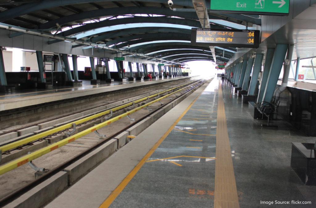
Metro Services and Features
The Bangalore Metro timings are from 5:00 AM to 11:00 PM. The last train from each starting point would begin its journey around 10:35 PM. On general holidays like the second and fourth Saturdays, the trains start moving at 6:00 AM and the last train at 10:35 PM. On Sundays, the first train moves at 7:00 AM and the last train at 11:00 PM.
During peak hours or special days, the trains frequent the stations every 5-7 minutes. Otherwise, there is a duration of 10 to 15 minutes between the arrival of each train. Also, the doors shut too fast so you must hasten and get in soon.
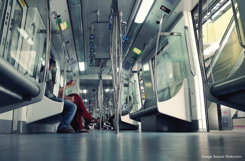
The stations have CCTV surveillance for the safety of passengers. There are security personnel for checking and bag scanners to detect harmful items. You also have metal detectors at the gates. In the trains, dedicated coaches are available for women and female personnel are always present for their checks.
You will find dedicated parking spaces in a few metro stations if not all. There are feeder buses too that will ensure last-mile connectivity to your desired destination. Interestingly, certain stations also have bicycle-sharing facilities where you can get a bicycle, ride and return it back. Wi-Fi is available in most of the major metro stations.
The Bangalore Metro route map currently extends to major tourist hubs and important industrial areas. It is the best way to reach your destination without the hassle of manoeuvring your way through the traffic. Also, the stations and trains are designed with passenger safety in mind, so you can let go and relax until you reach your station.
Environmental and social impact
The Bangalore Metro route map extends to the major localities in the city. Most people are now relying on the services of this public transport system. Due to this practice carbon emissions from vehicles will be less too, contributing to a better environment and lower pollution levels.
Real estate and economic effect
The property value has increased significantly in areas that are closer to the Bangalore metro lines and stations. Many residential construction projects, entertainment ventures and newer party places were also built here over the years. There is a surge in commercial activity with newer retail shops, offices and restaurants on these routes.
People visiting the city prefer to book hotels in Bangalore that are near the metro stations. After giving one look to the Bangalore map metro, you can easily narrow down stays that are close to the transportation points.
Challenges and solutions
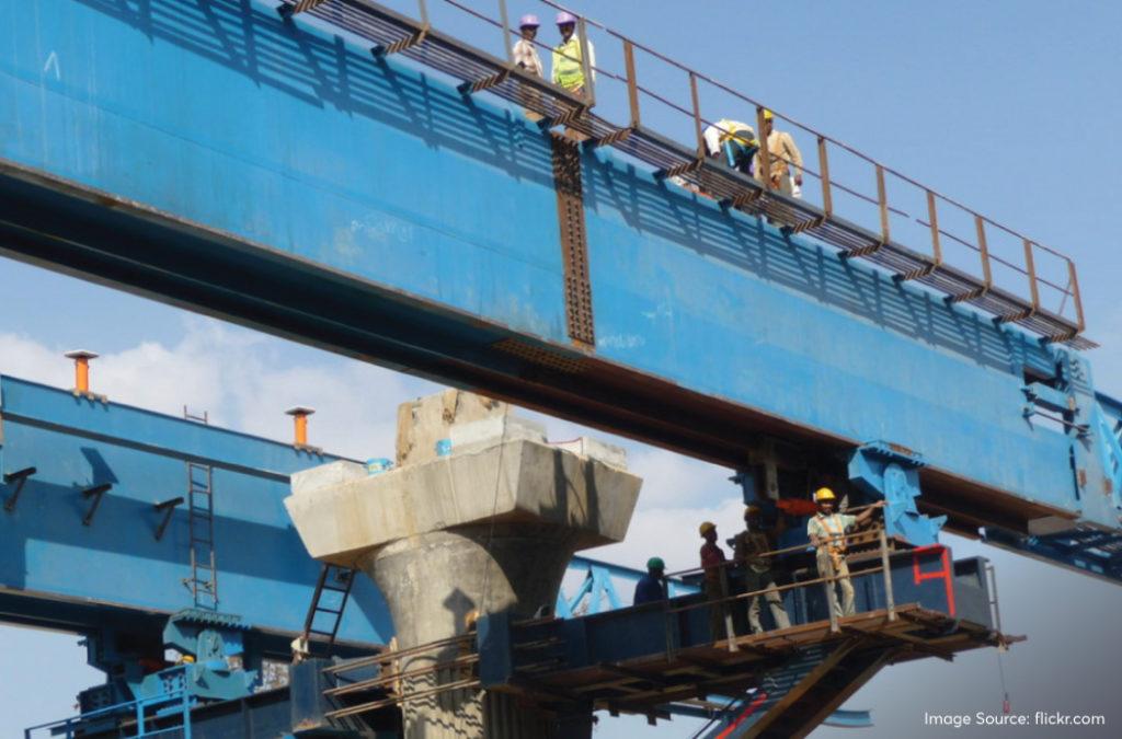
The major challenge while constructing the Bangalore Metro was to navigate through the tough terrains of the underground stations. The cutter head of the tunnel boring machine was broken and this delayed the project until replacement parts were ordered. Also, getting a sufficient budget was an issue. The government paved the way for the collaboration between the state and private sectors which helped in mobilising the resources better within the budget range.
User experience and feedback
Regular commuters are very happy with the punctuality of the trains and the cleanliness of the couches. They can reach their destinations sooner than they had while travelling on the road. Many testimonials highlighted the ease of travel and the time they were able to save.
Tourists can book their accommodations easily around the main transit points of the city. For instance, it is hassle-free to book hotels near Bangalore Railway Station and reach these places through the metro. And from here, they can take the metro again to explore the tourist attractions of the city while utilising the ticket discounts available.
Bangalore Metro has quickly become the city’s main transportation infrastructure and is playing a vital role in reducing traffic woes. With its two operational lines, purple and blue, it helps with quick commuting, reducing carbon emissions and ensuring economic growth. It is a reliable source of commuting, especially for working-class residents who have their offices near the stations and are on the move every day. With more lines ready to serve the locals, the network will prove to be a bigger advantage!